WB01540_.gif (632 bytes) SKYSCAN!!!!
Lightning Detector

WB01540_.gif (632 bytes) SEARCH

WB01540_.gif (632 bytes) RECCO
Rescue System

WB01540_.gif (632 bytes)APPLICATIONS   

WB01540_.gif (632 bytes) PRODUCTS

WB01540_.gif (632 bytes) SERVICES

WB01540_.gif (632 bytes) STROV SOFTWARE

WB01540_.gif (632 bytes) ABOUT US

WB01540_.gif (632 bytes) PROJECTS

WB01540_.gif (632 bytes) WHAT'S NEW!

WB01540_.gif (632 bytes) FEEDBACK

WB01540_.gif (632 bytes) HOME

 [Banner Image]

Geographic Information Systems(GIS) Products
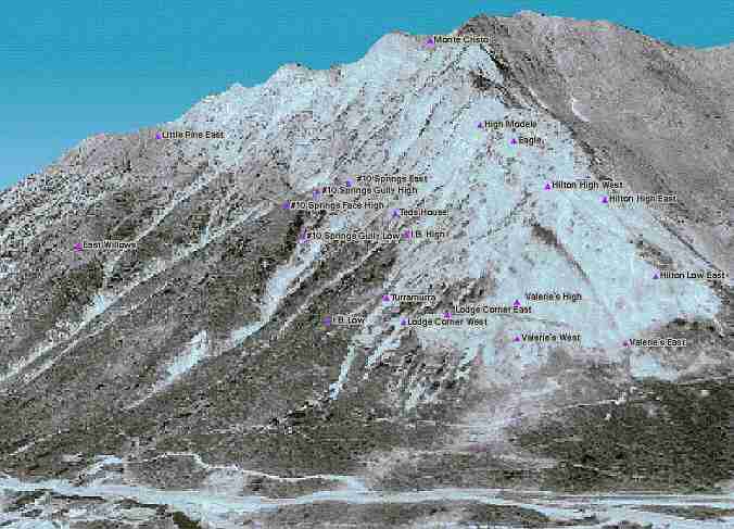
[Product Image]
Images allow you look at any size project.

Many different products are available for each project. GIS technology has become a very cost effective tool for helping build databases and visual renderings of project areas. NoHow Inc. offers GIS products for any project. Overlays of your datastream from your remote sites offers the ability to change information into knowledge.


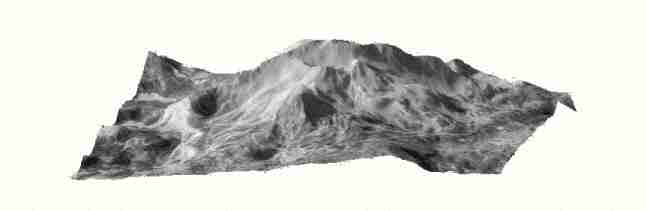
Key Benefits of GIS Products

[Bullet] Building a Terrain Database File for the project area.

[Bullet] Investigating potential remote site location(s).

[Bullet] Overlaying collected data from the remote site(s) on the terrain being studied.

[Dividing Line Image]

INFORMATION REQUEST FORM

*All fields required for submission.*

Email:

Name:

Organization:

Phone #:

Subject of request:

Comments:

") or die("email error"); echo "THANK YOU! YOUR REQUEST HAS BEEN SENT."; // if all went well, display message was sent } else { echo "ALL fields must be filled out to SUBMIT!
"; // if not all were filled in, display error message } } // end php submission code ?>

[Dividing Line Image]
TERMS OF USE
Send mail to Webmaster with questions or comments about this web site.
Copyright © 2007 NoHow Inc.
Last modified: September 16, 2007